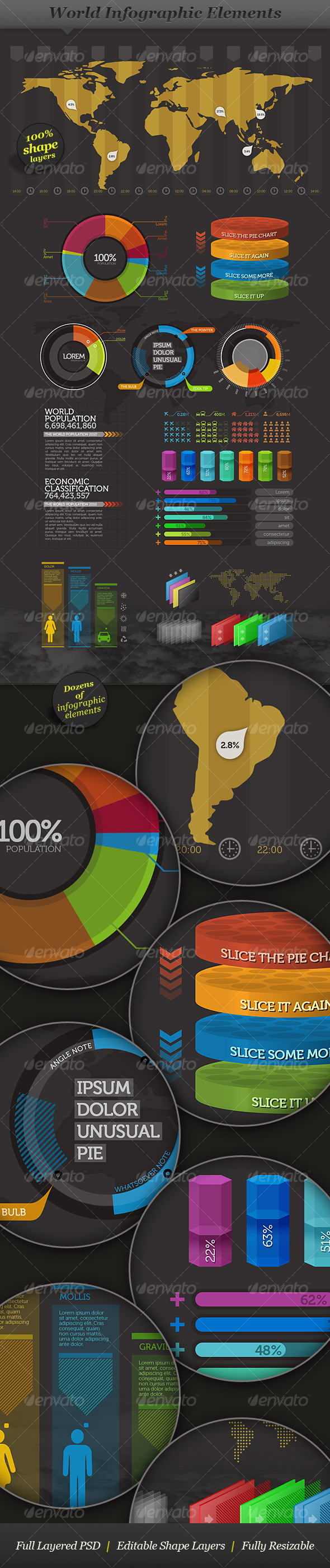
Overview
Editable world infographic map, easy to change colors, fonts and styles. High detailed and accurate vector shapes.
Create your own maps, use them in animations, websites, print, etc.
Features
- Detailed and accurate shapes.
- Countries grouped by continents and named
- Each country can be used as individual shape. You can do your own maps.
- A dotted version of the map (See screenshots button above)
- Land divided in continents, each on its own sub-layer
- Country names and capital names included
- Live charts, you can insert your own data directly in Illustrator
Content:
- World map – a way to map your company headquarters and offices around the world
- World map – a way to map your trip around the world
Filetypes:
- Adobe Illustrator CS5 file (layered)
- Adobe Photoshop file (layered)
- EPS file (layered)
- PDF file (layered)
- JPEG file (for preview)
Colors:
- CMYK color system
Page Size:
- A1 size, landscape orientation, 1 page for EPS and AI files
- 9933×7017 pixels, at 300DPI for PSD files
Fonts
- Roboto
- Calibri
Links to all fonts are provided in the info file.
Filetype Description:
The file is divided in layers and from bottom to top are:
- background;
- grid;
- dotted map;
- land;
- continents;
- countries (with sub-layer for each continent and with all polygons named after each country);
- major lakes;
- country borders;
- coastline;
- ocean names;
- capital points;
- capital names;
- country names;
- headquarters and offices; / routes;
- location pins;
- footer;
- quickfacts;
- info text; / pie chart
- title;
- border
LIVE DEMO PHOTOSHOP FILE

LIVE DEMO ILLUSTRATOR FILE

Support
If you have any technical issues please let me know.
Contact me through my profile page.
Thank you!
Check out the USA infographic map!

Download Now
LIVE PREVIEWBUY FOR $6